-
William Home Lizars – Scandinavia Including Sweden, Norway & Denmark | Historic Map Print
Regular price From $25.49 USDRegular price$27.95 USDSale price From $25.49 USDSale -
Carta Marina et Descriptio Septentrionalium Terrarum (1539, Facsimile) — Antique Scandinavia Map Print
Regular price From $27.95 USDRegular price -
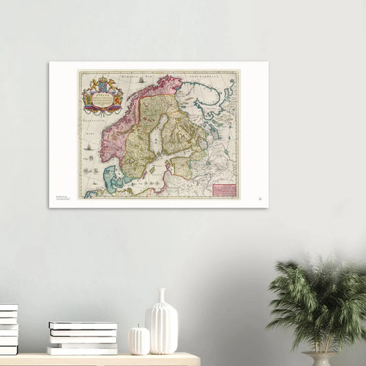
Svecia, Dania, Et Norvegia | Antique Scandinavia Map Print (1665)
Regular price From $27.95 USDRegular price -
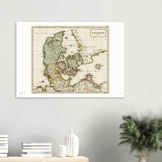
Daenemark (1795) | Antique Denmark Map Print
Regular price From $27.95 USDRegular price -
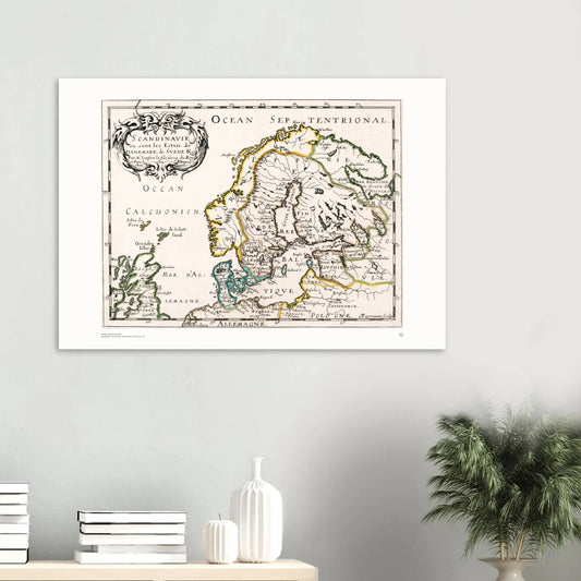
Nicolas Sanson – Scandinavie ou sont les Estats de Danemark, de Suede &c., 1648 | Scandinavian Map Print
Regular price From $25.49 USDRegular price$27.95 USDSale price From $25.49 USDSale -
Pezolt – View of Stockholm (Sweden), 1901 | Vintage City View Print
Regular price From $25.49 USDRegular price$27.95 USDSale price From $25.49 USDSale -
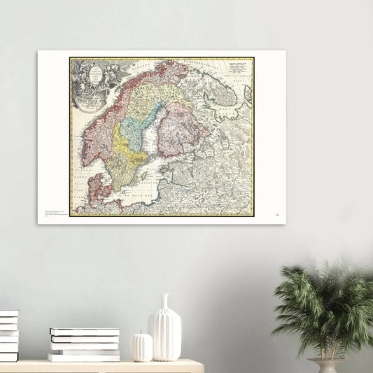
Homann – Map of Scandinavia, Norway, Sweden, Denmark, Finland and the Baltics, 1730 | Historical Map Print
Regular price From $25.49 USDRegular price$27.95 USDSale price From $25.49 USDSale